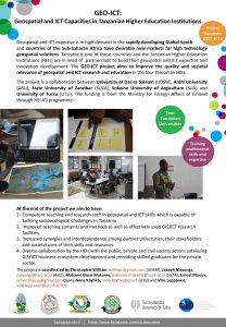
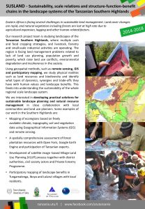
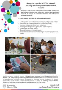
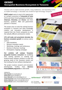
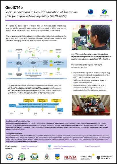
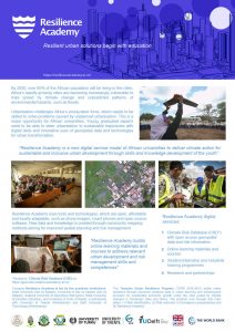
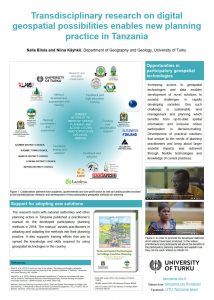
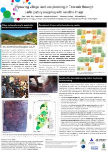
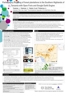
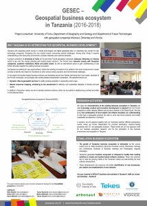
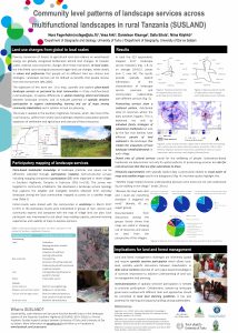
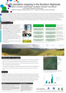
Leaflets Geospatial and ICT Capacities in Tanzanian Higher Education Institutions GEO-ICT (2017-2020) Sustainability, scale relations and structure-function-benefit chains in the landscape systems of Tanzanian Southern Highlands SUSLAND (2014-2019) Geospatial expertise of UTU in research, teaching and development collaboration in Tanzania Leaflet 2018 Geospatial Business Ecosystem in Tanzania GESEC (2016-2018) HEI-GIS capacities in Geography education at the University of Dar es Salaam HEI-GIS (2013-2015) Posters GeoICT4e – Social innovations in Geo-ICT education at Tanzanian HEIs for improved employability GeoICT4e (2020-2024) Resilience Academy: Resilient urban solutions begin with education Resilience Academy (2019-2020) Transdisciplinary research on digital geospatial posibilities enables new planning practice in Tanzania SUSLAND (2014-2019) Improving land use planning in Tanzania through participatory mapping with satellite image SUSLAND (2014-2019) Participatory mapping of plantations in the Southern Highlands of Tanzania with Open Foris and Google Earth Engine SUSLAND (2014–2019) Geospatial business ecosystem in Tanzania GESEC (2016-2018) Community level patterns of landscape services across multifunctional landscapes in rural Tanzania SUSLAND (2014-2019) Forest plantation mapping in the Southern Highlands SUSLAND (2014-2019)