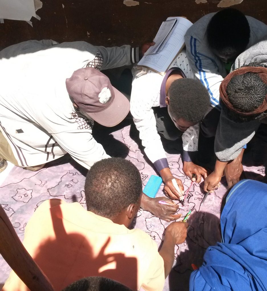
A report on the participatory mapping tools in official village land use planning process in Tanzania is out now! The report is published together by UTU Tanzania team and Private Forestry Programme and it lays out step by step The tools have already been adopted into practice in five districts of the Southern Highlands and interest on them is likely to increase via the publication. Download the report here!
The tools are a result of UTU Tanzania team’s nearly ten year long research work on the use of participatory mapping solutions with communities in Tanzania mainland and Zanzibar.
A more comprehensive Practitioner’s manual on the same tools will be published by the National land Use Planning Commission early next year in Tanzania.